
Wingfield Manor - Peak District Walk
Wednesday 16th June 2010
A local walk that was done as research for the local magazine I write for. One or two interesting diversions that resulted in me changing my planned route, as I didn't think others would appreciate walking along paths that were overgrown with nettles that were at head height for me, so well above waist height for most other adults.
Start: Roadside parking in Pentrich (SK 3900 5258)
Route: Pentrich - Wingfield Manor - Coalburn Hill - Wingfield Park - Pentrich
Distance: 5 miles Ascent: 181 metres Time Taken: 3 hours 10 mins
Terrain: Good paths and grassy fields.
Weather: Warm with blue skies.
Pub Visited: None Ale Drunk: None
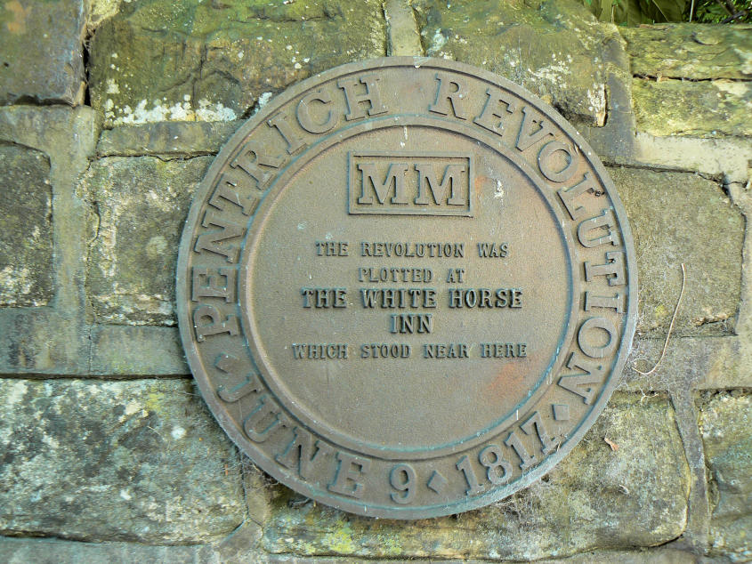
The walk starts in the village of Pentrich where you can follow a trail that tells the story of the last revolution in England, which started in the village.

My route doesn't follow the trail but this broad track through fields.
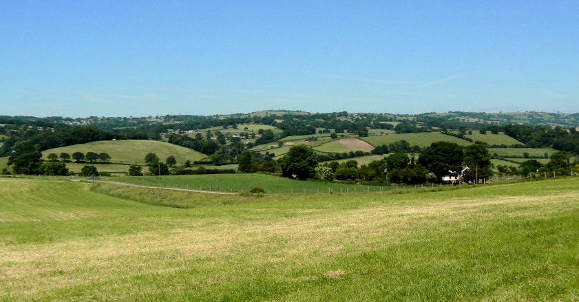
The view towards Crich and Crich Stand.

Looking back towards the ridge, which I walked along at the start of the walk.

On a hot day this shady track was a welcome relief from heat of the sun
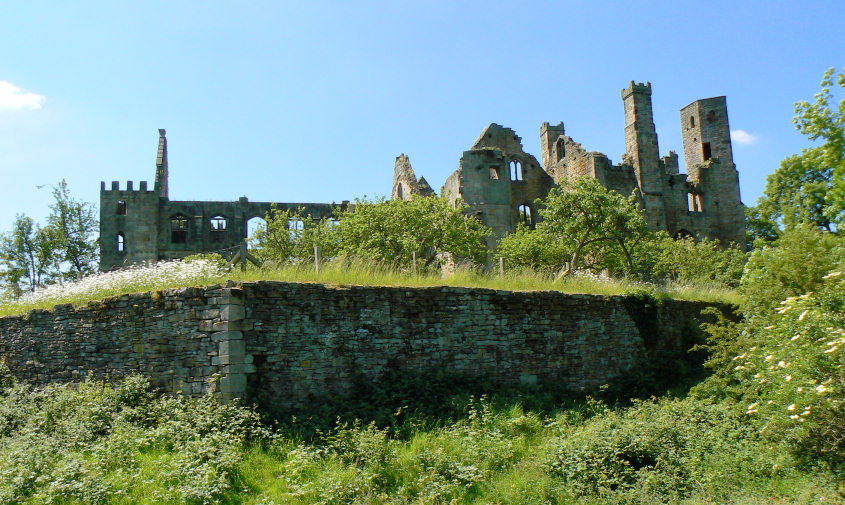
Wingfield Manor where Mary Queen of Scots was held before she was executed in Fotheringhay Castle

The view towards Wessington from Wingfield Manor.

Wingfield Manor's main gate.
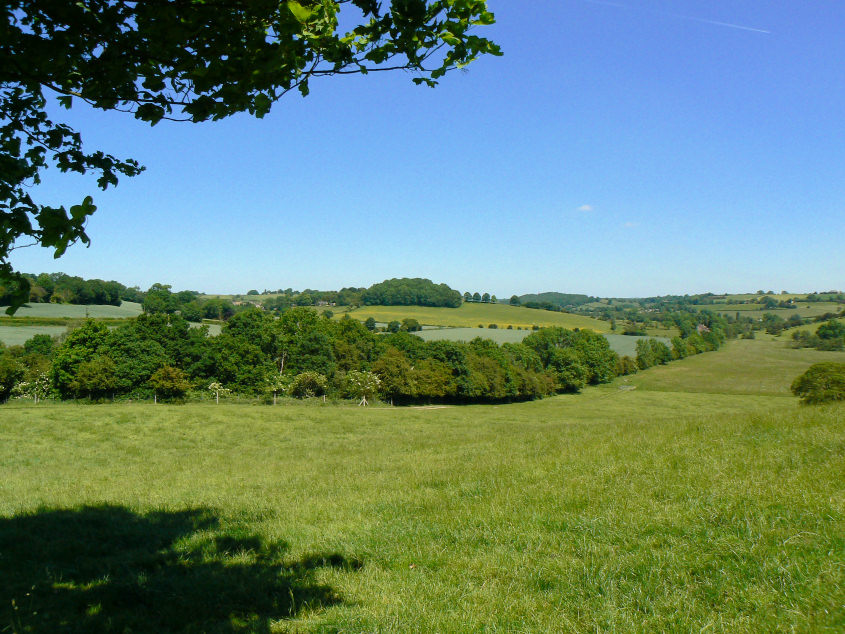
Coalburn Hill.
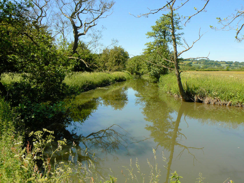
Reflections in the muddy River Amber.
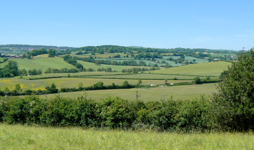
Looking across Park Head towards Crich Stand.
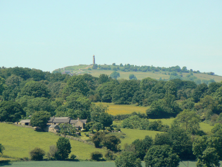
Crich Stand.

The Church of St. Matthew in Pentrich, which dates back to the 12th century.
All pictures copyright © Peak Walker 2006-2023